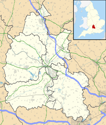
Bản mẫu:Location map United Kingdom Oxfordshire
Giao diện
| tên | Oxfordshire | |||
|---|---|---|---|---|
| tọa độ biên | ||||
| 52.19 | ||||
| -1.74 | ←↕→ | -0.72 | ||
| 51.44 | ||||
| tâm bản đồ | 51°48′54″B 1°13′48″T / 51,815°B 1,23°T | |||
| hình | Oxfordshire UK location map.svg | |||

| ||||
| hình 1 | Oxfordshire UK relief location map.jpg | |||

| ||||
