
Tập tin:Hampshire UK relief location map.jpg
Kích thước hình xem trước: 704×599 điểm ảnh. Độ phân giải khác: 282×240 điểm ảnh | 564×480 điểm ảnh | 902×768 điểm ảnh | 1.203×1.024 điểm ảnh | 1.999×1.702 điểm ảnh.
Tập tin gốc (1.999×1.702 điểm ảnh, kích thước tập tin: 407 kB, kiểu MIME: image/jpeg)
Tập tin này từ Wikimedia Commons. Trang miêu tả nó ở đấy được sao chép dưới đây. Commons là kho lưu trữ tập tin phương tiện có giấy phép tự do. Bạn có thể tham gia. |
| Miêu tả |
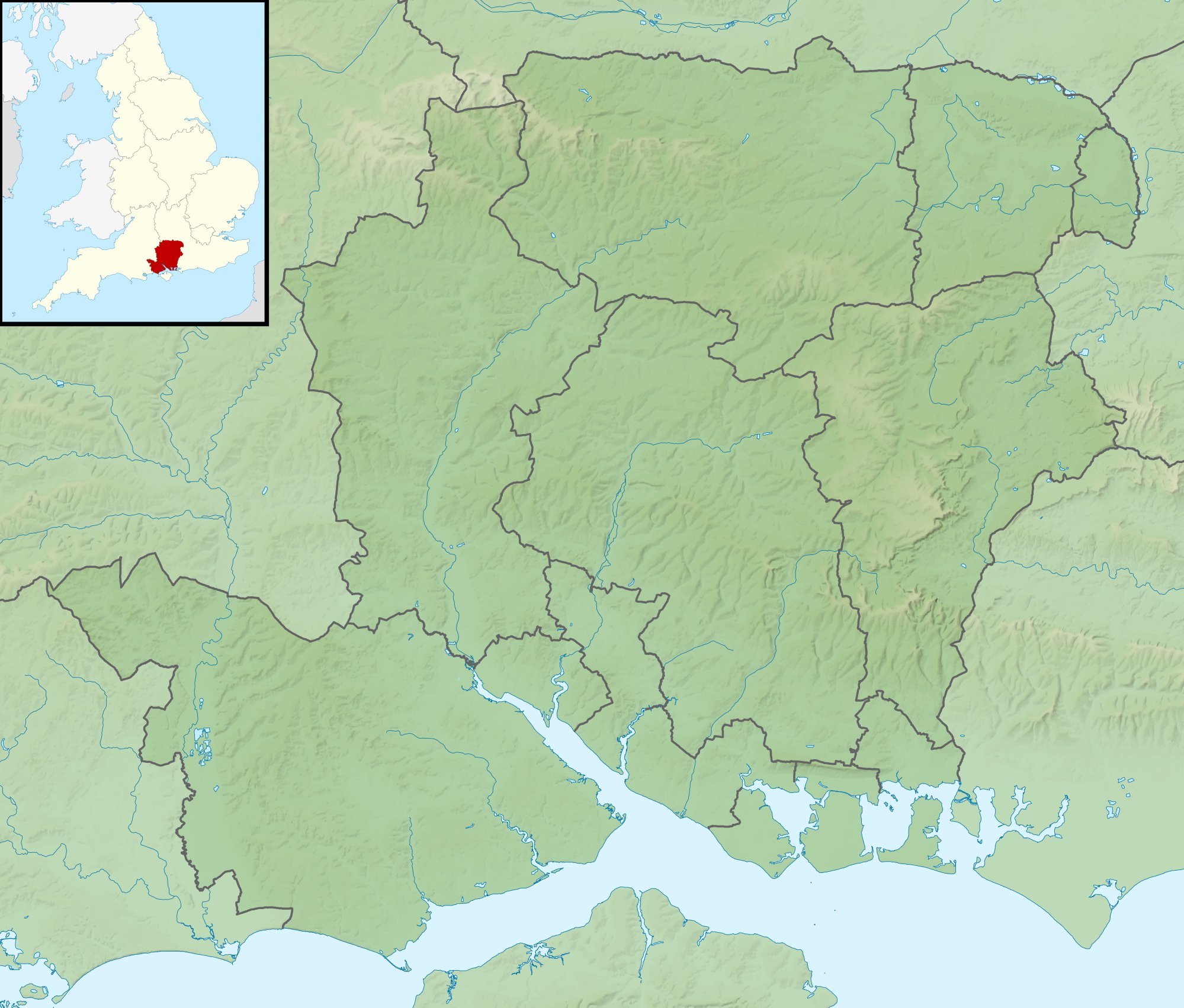
Relief map of Hampshire, UK. Equirectangular map projection on WGS 84 datum, with N/S stretched 155% Geographic limits:
|
| Ngày | |
| Nguồn gốc |
|
| Tác giả | Nilfanion, created using Ordnance Survey data |
| Giấy phép (Dùng lại tập tin) |
Tập tin này được phát hành theo Giấy phép Creative Commons Ghi công - Chia sẻ tương tự 3.0 Chưa chuyển đồi Ghi công: Contains Ordnance Survey data © Crown copyright and database right
|
| Phiên bản khác | File:Hampshire UK district map (blank).svg - Blank map |
.svg)
Lịch sử tập tin
Nhấn vào ngày/giờ để xem nội dung tập tin tại thời điểm đó.
| Ngày/giờ | Hình xem trước | Kích cỡ | Thành viên | Miêu tả | |
|---|---|---|---|---|---|
| hiện tại | 01:39, ngày 29 tháng 11 năm 2011 | | 1.999×1.702 (407 kB) | Nilfanion | {{Information |Description=Relief map of Hampshire, UK. Equirectangular map projection on WGS 84 datum, with N/S stretched 155% Geographic limits: *West: 2.01W *East: 0.68W *North: 51.41N *South: 50.68N |Source=[[w:Ordnance Survey|Ordnan |
Trang sử dụng tập tin
Có 1 trang tại Wikipedia tiếng Việt có liên kết đến tập tin (không hiển thị trang ở các dự án khác):
Sử dụng tập tin toàn cục
Những wiki sau đang sử dụng tập tin này:
- Trang sử dụng tại ar.wikipedia.org
- Trang sử dụng tại bg.wikipedia.org
- Trang sử dụng tại ceb.wikipedia.org
- Trang sử dụng tại en.wikipedia.org
- The Solent
- River Hamble
- Twyford Down
- Battle of Alton
- Lymington River
- Battle of the Solent
- Butser Hill
- Pilot Hill, Hampshire
- Battle of Cheriton
- River Alre
- Bartley Water
- Monks Brook
- List of hillforts in England
- Portsmouth and Southsea Synagogue
- Solent Rescue
- Dark Water (river)
- Siege of Basing House
- Gosport and Fareham Inshore Rescue Service
- Ladle Hill
- William Ogle, 1st Viscount Ogle
- Avon Water, Hampshire
- Hayling Island Lifeboat Station
- Portsmouth Lifeboat Station
- Calshot Lifeboat Station
- River Slea, Hampshire
- River Hart
- Philips PFA Golf Classic
- User:Que/sandbox
- Module:Location map/data/United Kingdom Hampshire
- Module:Location map/data/Hampshire
- Module:Location map/data/United Kingdom Hampshire/doc
- Humphrey Bennet
- Fleet Brook
- User:Que/hillforts
- Trang sử dụng tại es.wikipedia.org
Xem thêm các trang toàn cục sử dụng tập tin này.